
Travel times and distances in Namibia



- Tailor-made safaris by true Africa specialists
- 5-star customer reviews
- Fair prices. Exceptional quality.

How big is Namibia?
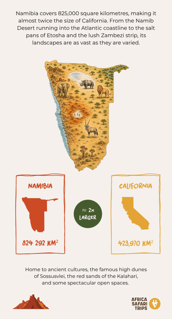
Namibia is vast! From Windhoek to the red dunes of Sossusvlei, the wild landscapes of Damaraland, the remote Kunene region and the wildlife-rich plains of Etosha, distances can add up quickly. And although the road is very much part of the adventure, knowing the distances and travel times helps you plan your days, and more importantly, enjoy the ride.
Why 100 km in Namibia can take more time than you think
In Namibia, drives easily take a little longer than Google promised. The main routes between towns are generally straightforward, but once you head into remote areas, dirt roads, corrugations, deep sand and sharp rocks can slow things down considerably. On the B1 highway, 100 kilometres is barely a blink, but on the gravel track to some remote outpost, it’s practically a day’s outing. And funny enough, that’s not necessarily a bad thing.


Common travel times in Namibia
Namibia is made for road trips, but nearby can be a fairly flexible concept. Some of the country’s most popular destinations are separated by several hundred kilometres, with journeys ranging from easy tar to slower gravel adventures. For instance, Windhoek to Sossusvlei or Windhoek to Etosha covers around 400 kilometres and takes 4 to 5 hours. But heading further north, Opuwo to Epupa Falls spans just 230 kilometres and also takes over 4 hours – a good reminder that in Namibia, kilometres and driving time don’t always travel at the same speed. For the actual travel times on your itinerary, always follow the drive information we provide you.
By car🚙
| Route | Distance | Approx. travel time |
| Windhoek → Sossusvlei | 344 km | 4.5 hours |
| Windhoek → Etosha (and Ongava) | 415 km | 4.5 hours |
| Windhoek → Swakopmund | 366 km | 5 hours |
| Windhoek → Brandberg | 368 km | 4.5 hours |
| Windhoek → the Kalahari | 270 km | 3.5 hours |
| Swakopmund → Sossusvlei | 418 km | 6 hours |
| Swakopmund → Damaraland | 334 km | 4 hours |
| Damaraland → Etosha | 326 km | 3.5 hours |
| Damaraland → Brandberg | 156 km | 2.5 hours |
| Katima Mulilo Airport → Bwabwata | 100 km | 1.5 hours |
| Mahango Game Reserve → Rundu | 220 km | 2.5 hours |
| Rundu → Etosha | 415 km | 4.5 hours |
| Etosha → Okonjima | 231 km | 2.5 hours |
| Okonjima → Swakopmund | 433 km | 4.5 hours |
| Palmwag → Opuwo | 233 km | 3.5 hours |
| Opuwo → Epupa | 230 km | 4 hours |
| Epupa → Hobatere | 370 km | 5-6 hours |
By road or by air?
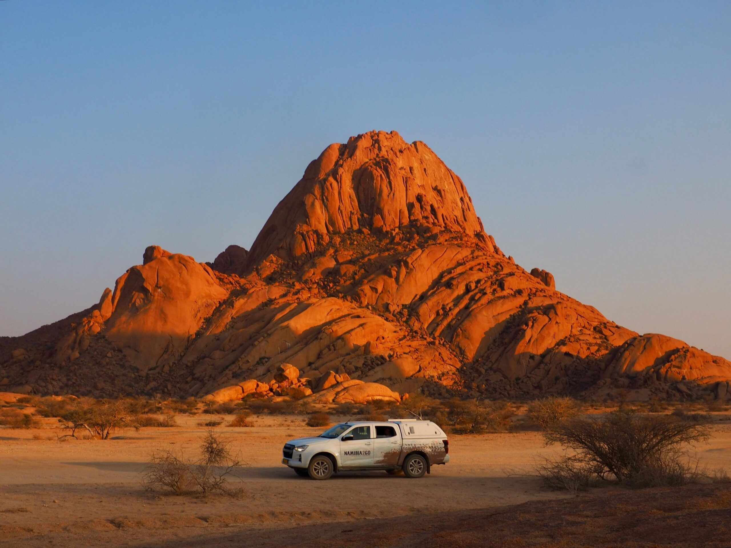
In Namibia, the road is usually the star of the show. Most of the country’s highlights are connected by road, and self-driving is a great way to experience its iconic landscapes fully. That said, some remote areas are easily reachable by air, with domestic flights and small charter planes saving you a long overland journey.
Not sure whether to drive, fly or combine the two? Our travel consultants can help you find the right balance – whether that means taking the scenic route across the desert or swapping the dust for a quick flight (and extra time for a jump in the pool).
By light aircraft ✈️
| Route | Approx. travel time |
| Windhoek → Zambezi (Katima Mulilo) | 1 hour 30 min. |
| Windhoek → Sossusvlei | 1 hour 10 min. |
| Windhoek → Ongava Airstrip (Etosha) | 1 hour 45 min. |
| Windhoek → Walvis Bay | 1 hour |
Let us create your tailor-made trip
Receive a free, no obligation quote
Start planning your dream trip