
Travel times and distances in Botswana



- Tailor-made safaris by true Africa specialists
- 5-star customer reviews
- Fair prices. Exceptional quality.

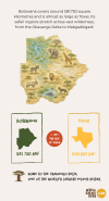
How big is Botswana?
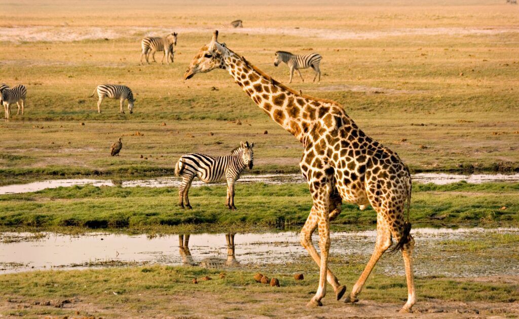
From the waterways of the Okavango Delta to the open landscapes of Chobe and Makgadikgadi, Botswana’s safari regions cover vast and often remote distances. Knowing how long the journeys really take helps you plan a smoother safari and make the most of your time in the wilderness.
Why 100 km in Botswana can take more time than you think
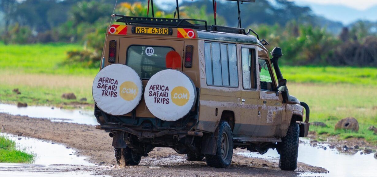
Distances in Botswana can be misleading. Roads between major towns are often in good condition, but once you travel towards remote safari areas, the pace changes. Sandy tracks, water crossings, wildlife on the road, and remote camps can all affect how long a journey takes.
That is why safari routes in Botswana are planned in hours, not kilometers. The plus: often the journey is already part of the safari.
Common travel times in Botswana
Botswana’s safari regions are spread across large and often remote wilderness areas. Some routes are ideal for road travel, while others are best reached by light aircraft. Find out the approximate travel times for some of the most common routes in Botswana.
| Route | Distance | Approx. travel time |
| Kasane → Chobe Riverfront | 60 km | 30–60 min. |
| Chobe Riverfront → Savuti | 160 km | 4 hours |
| Maun → Khwai Community Concession | 120 km | 4 hours |
| Maun → Moremi | 100 km | 4 hours |
| Nata → Kasane | 300 km | 4 hours |
| Maun → Khwai Community Concession | By air | 45 min. |

By road or by air?
Traveling through Botswana often involves a combination of road transfers and light aircraft flights. Some safari areas are easy to get to by car, while more remote camps are usually reached by air.
Not sure what makes sense for your route? Our travel consultants can help you plan the best combination of road transfers and flights so you spend less time figuring out logistics and more time enjoying Botswana.

Full travel time overview
Looking for a specific route? Below you’ll find a complete overview of common driving distances and light aircraft flight times in Botswana.
Northern Botswana: Chobe & Savuti 🚙
| Route | Distance | Approx. travel time |
| Kasane → Chobe Riverfront | 60 km | 30 min.–1 hour |
| Chobe Riverfront → Savuti | 160 km | 4 hours |
| Savuti → Khwai Community Concession | 100–120 km | 4 hours |
| Khwai Community Concession → Kasane | 240 km | 6 hours |
Okavango & Moremi Region 🚙
| Route | Distance | Approx. travel time |
| Maun → Khwai Community Concession | 120 km | 4 hours |
| Savuti → Kasane | 170 km | 5–7 hours |
| Maun → Moremi Game Reserve | 100 km | 4 hours |
| Moremi Game Reserve → Okavango Delta camps | 80–120 km | 3–4 hours |
Makgadikgadi & Nxai Pans Region 🚙
| Route | Distance | Approx. travel time |
| Makgadikgadi Pans National Park → Nxai Pans National Park | 50–80 km | 1.5–2.5 hours |
| Boteti River → Nata | 150–200 km | 2–3 hours |
| Nata → Kasane | 300 km | 4 hours |
By light aircraft ✈️
| Route | Transport | Approx. travel time |
| Savuti → Kasane | By air | 1 hour |
| Khwai Community Concession → Savuti | By air | 30 min. |
| Savuti → Chobe Riverfront (Kasane) | By air | 45–60 min. |
| Maun → Moremi Game Reserve | By air | 30–45 min. |
| Moremi Game Reserve → Khwai | By air | 30–45 min. |
| Maun → Khwai Community Concession | By air | 45 min. |
| Maun → Boteti River | By air | 1 hour |
| Maun → Makgadikgadi Pans National Park | By air | 1 hour |
| Victoria Falls (Zimbabwe) → Kasane | By air | 1 hour |
| Okavango Delta → Maun | By helicopter | 45–60 min. |
| Moremi Game Reserve → Okavango Delta camps | By air | 15–30 min. |
Let us create your tailor-made trip
Receive a free, no obligation quote
Start planning your dream trip